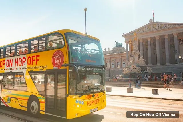
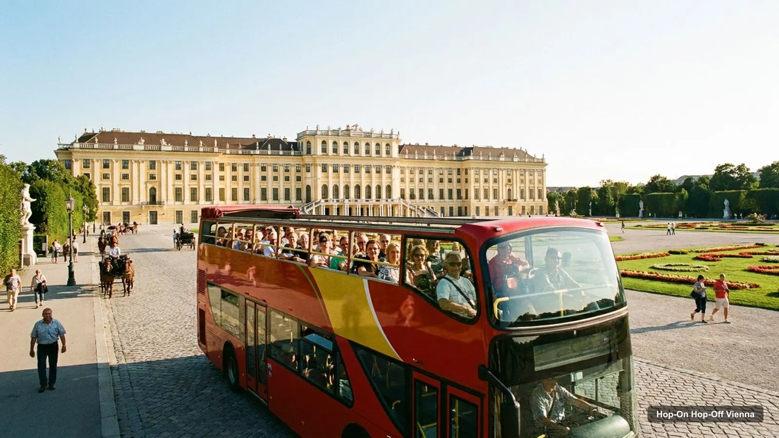
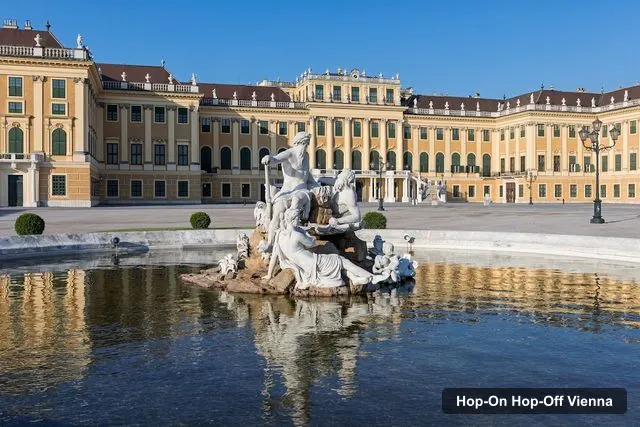
A Vienna tourist map makes more sense once you see the city as three groups of sights. I’ve put the top 20 attractions, ranked by Google Maps reviews, and the main sightseeing bus stops on one page, with coordinates and a Google Maps link for each. To choose a ticket for the route, my hop-on hop-off Vienna guide compares every option, and the numbers below come from the same data.
Vienna Sightseeing Map: The Bus Route
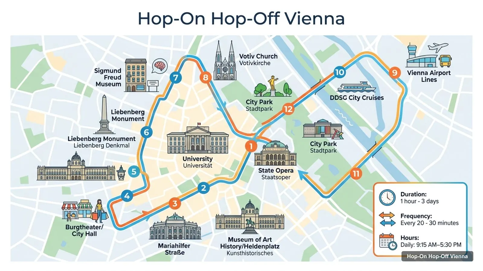
The Vienna sightseeing map below shows the first twelve stops of the Vienna Sightseeing Tours list, in order, starting at the State Opera and running along the Ring Road past the University, the Votiv Church and the Sigmund Freud Museum to City Park. The listing names 26 stops in total, and up to four routes, which also take in Schönbrunn Palace, the Main Station, Belvedere Palace, KunstHausWien, the Giant Ferris Wheel and Praterstern. Buses run every 20 to 30 minutes between 9:15 AM and 5:30 PM.
Stops on the route
1State Opera
2Museum of Art History/Heldenplatz
3Mariahilfer Straße
4Burgtheater/City Hall
5University
6Liebenberg Monument
7Sigmund Freud Museum
8Votiv Church
9Vienna Airport Lines
10DDSG City Cruises
11MAK
12City Park
Here are those twelve stops with a Google Maps search link for each. I searched by name plus Vienna rather than by street address, because the listings give names and not addresses.
Big Bus uses its own stop list, starting at Stop 1 by the State Opera, where its first tour leaves at 9:30 AM, and a City Route and a Palace Route. Its evening tour passes the Opera, the Hofburg, Parliament, City Hall, the Giant Ferris Wheel and Donau City. Check your operator’s list before you hop off, since the stops overlap but aren’t identical.
Vienna Travel Map: The Top 20 Attractions
The Vienna travel map below lists the 20 most-reviewed attractions on Google Maps, skipping tour operators and bus stations. Ratings and review counts come from the Google Maps data I collected, coordinates are latitude and longitude, and each link opens the place in Google Maps.
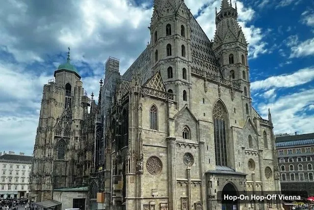
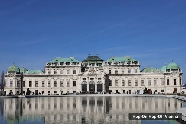
Schönbrunn Palace leads with 186,253 reviews, followed by St. Stephen’s Cathedral with 140,521 and Belvedere Palace with 91,165. Three of the top museums, the Natural History Museum, the Kunsthistorisches Museum and the Leopold Museum, are 4.7 or 4.8 rated. If you only have a day, the first four are the ones I’d map first.
The Vienna sites map splits into clusters, and the distances below are straight-line figures I calculated from the coordinates in the table above.
The old town. The Hofburg, Heldenplatz, the Kunsthistorisches Museum, the Natural History Museum, the Albertina and the Leopold Museum are all within about 0.7 km of each other. The Hofburg is 0.7 km from St. Stephen’s Cathedral, 0.3 km from the Kunsthistorisches Museum and 0.5 km from the Leopold Museum. You can walk the whole group, and the Museum of Art History/Heldenplatz stop sits in the middle of it.
The south-west. Schönbrunn Palace and the Vienna Museum of Science & Technology are about 0.6 km apart. Schönbrunn is 4.4 km from the Hofburg, so this is a bus ride. It’s a stop on the Vienna Sightseeing Tours list.
The south-east. Belvedere Palace is 2.0 km from the Hofburg and 1.0 km from the Museum of Military History. KunstHausWien is 2.4 km from Belvedere. Belvedere and KunstHausWien are both on the Vienna Sightseeing Tours list, and Belvedere Palace is 5.1 km from Schönbrunn, which is the longest hop on my map.
If you want to see how these clusters become days, my Vienna itinerary puts them into one, two and three-day plans.
Vienna Sights Map: Which Sights Have a Bus Stop
On my Vienna sights map, the sights with a bus stop on the Vienna Sightseeing Tours list are Schönbrunn Palace, Belvedere Palace, Heldenplatz and the Museum of Art History, the Sigmund Freud Museum, the MAK (Museum of Applied Arts) and KunstHausWien. The Hofburg is on the Big Bus evening route. St. Stephen’s Cathedral and the Albertina are not on any stop list in my data, so they’re short walks from the State Opera or the Ring.
Two practical notes. First, a hop-on hop-off ticket is valid for 24, 48 or 72 hours, so you can ride from the old town to a palace and back in one day. Second, several museums are closed on Mondays in my data, including the Museum of Applied Arts, the Wien Museum Karlsplatz, the Museum of Military History, Secession and mumok, so on a Monday, use the old-town cluster and the palaces.
How to Use the Vienna Tourist Map
Start by choosing the cluster you want for the morning, then pick the bus stop nearest to it from the stop table. Open the Google Maps link for that stop, check the walking route to the sight, and save both places to a list. I do this the night before, because the map then tells me how many sights fit into a day instead of the other way round.
A sensible rhythm is one cluster per half day. The old town needs a morning because it holds the most sights in the least space, and each museum there can swallow two hours if you go inside. The palaces each need a half day by themselves: Schönbrunn Palace has the largest review count of any sight in the city, and Belvedere Palace sits in its own gardens. KunstHausWien and the Museum of Military History are the optional extras, and I’d only add them if you have a third day.
Walking or Riding Between Sights
The numbers from the coordinates make the choice simple. Under 1 km, I’d walk: Hofburg to St. Stephen’s Cathedral (0.7 km), Hofburg to the Leopold Museum (0.5 km), the Albertina to the cathedral (0.6 km). Between 1 and 2.5 km, it’s a judgement call that depends on the weather and your feet: the Sigmund Freud Museum is 1.4 km from the Hofburg, and Belvedere Palace is 2.0 km from it. Above that, I’d ride. Schönbrunn Palace is 4.4 km from the Hofburg and 5.1 km from Belvedere Palace, which is exactly what the hop-on hop-off route is for.
Vienna Tourist Information
Vienna tourist information is easy to find: the city’s official tourism site is wien.info, and the public transport operator’s site is Wiener Linien. I haven’t pulled timetables or fares from either into this page, so check them for tram, metro and bus tickets. For sightseeing, my data is the Google Maps places and the operator listings on GetYourGuide.
Vienna Tourist Map PDF
A Vienna tourist map PDF isn’t something I publish, but this page prints well, and the Google Maps links in the tables let you save any place to your own map. If you want the ticket side too, the Vienna sightseeing bus guide lists every price and ticket length, and my best things to do in Vienna page tells you what each sight is like. For other cities, go back to the homepage.
Frequently asked questions
Is there a printable Vienna tourist map?+
This page works as one. The route map image shows the sightseeing bus loop with numbered stops, and the tables below list the top 20 attractions and 12 bus stops, each with a Google Maps link. Print the page, or open any link in Google Maps to save the place to your own map offline.
Where are most Vienna attractions on the map?+
In three groups. The old town inside the Ring Road holds the Hofburg, Heldenplatz, St. Stephen's Cathedral and the Albertina. Schönbrunn Palace and the Science & Technology Museum sit to the south-west. Belvedere Palace, the Museum of Military History and KunstHausWien lie to the south-east of the centre.
How far apart are the main Vienna sights?+
Within the old town they're close: the Hofburg is 0.7 km from St. Stephen's Cathedral and 0.3 km from the Kunsthistorisches Museum, in a straight line. The palaces are further: Belvedere is 2.0 km from the Hofburg, Schönbrunn 4.4 km, and Schönbrunn to Belvedere is 5.1 km. That's why I use the bus for the palaces.
Tours I compared in Vienna
My full review of each one, in the order I rank them: