Quebec City Tourist Map: Top Attractions & Bus Stops
By Jake Dawson · Updated · Affiliate links, explained in my disclosure
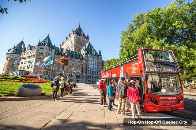
Unitours Inc.
Quebec City: Hop-on Hop-off Open-Top Double-Decker Bus Tour
4.3 (1,931) · from $46.68
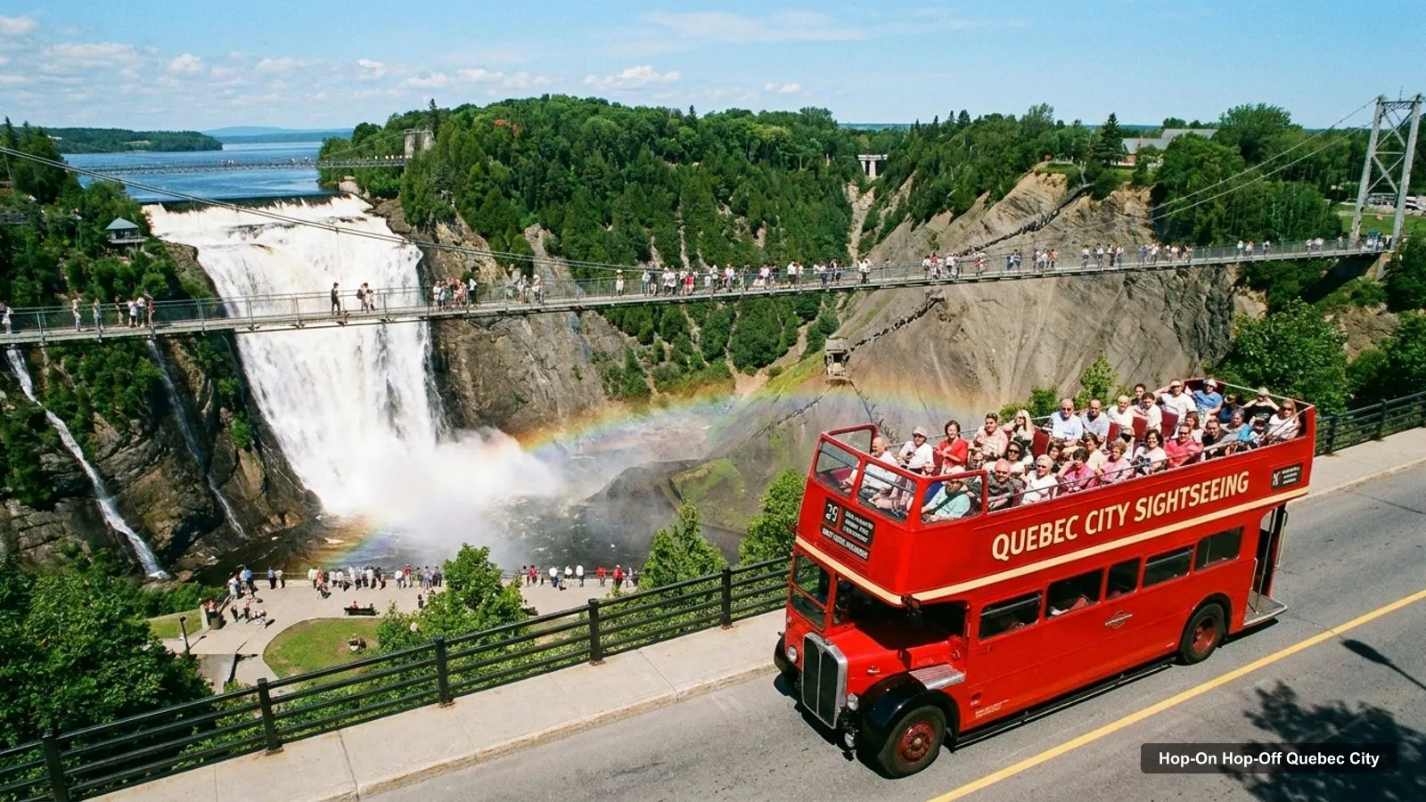
This Quebec City tourist map page puts the bus stops and the attractions in one place. Below you will find the route graphic, the stop list, a top-20 attraction table with coordinates, and the walking clusters I use to plan a day. If you want the ticket comparison behind the stops, my hop-on hop-off Quebec City guide has it.
All coordinates and ratings come from Google Maps data, checked on 2026-10-07. The stop list comes from the Unitours listing on GetYourGuide. The distances in the text are straight-line figures I calculated from coordinates, so the actual walk is longer, and the old town is hilly.
Quebec City Tourist Spots
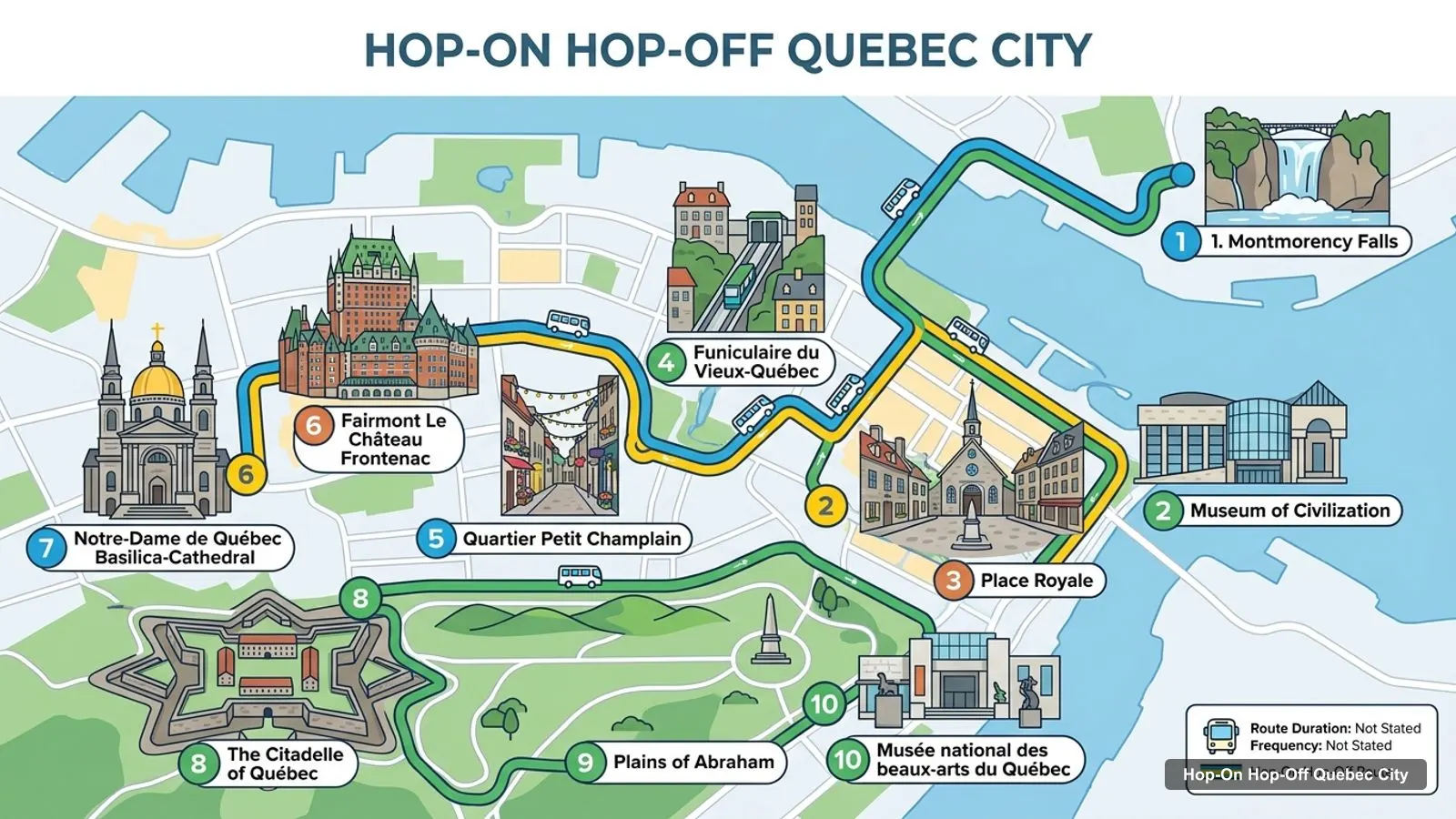
The main Quebec City tourist spots sit in three groups: the upper town around the Château Frontenac, the lower town by the river, and the Plains of Abraham on the western edge of the old city. Montmorency Falls is the only top sight well outside them. The route graphic below shows the ten places I think matter most, in a suggested order.
Stops on the route
- 1Place d'Armes
- 2Rue St-Jean (starts in July)
- 3Citadelle de Québec
- 4Plaines d'Abraham
- 5Jardin Jeanne d'Arc
- 6Musée des Beaux-arts
- 7Centre des Congrès
- 8Parlement
- 9Place d'Youville
- 10Charest
- 11Vieux-Port
- 12Musée de la Civilisation
The graphic is a planning aid and not an official operator map. Use the table that follows for the real stop names, and confirm the stops with the driver when you board.
Old Quebec City Tourist Map
Old Quebec is small enough that one map covers it. Place d’Armes is the centre point, and everything in the upper town is within about 600 metres: the Château Frontenac at 90 metres, the Basilica-Cathedral at 120, Dufferin Terrace at 180 and the Citadelle at 560. The lower town starts at Place Royale, about 220 metres away, and the Musée de la Civilisation at about 380.
The Red City Loop has 16 stops. Here they are, with a Google Maps link for each. Rue St-Jean is marked in the listing as starting in July, so it may not be served all year.
| # | Stop | Google Maps |
|---|---|---|
| 1 | Place d’Armes | Open in Maps |
| 2 | Rue St-Jean (starts in July) | Open in Maps |
| 3 | Citadelle de Québec | Open in Maps |
| 4 | Plaines d’Abraham | Open in Maps |
| 5 | Jardin Jeanne d’Arc | Open in Maps |
| 6 | Musée des Beaux-arts | Open in Maps |
| 7 | Centre des Congrès | Open in Maps |
| 8 | Parlement | Open in Maps |
| 9 | Place d’Youville | Open in Maps |
| 10 | Charest | Open in Maps |
| 11 | Vieux-Port | Open in Maps |
| 12 | Musée de la Civilisation | Open in Maps |
The listing’s written stop list has four more names after these: Place Royale, Station de la Côte, Maguire and Grande-Allée. I left those out of the table because I could not match them to a single point on the map. The GetYourGuide itinerary tab also names Saint-Roch, the Voltigeurs de Québec Armoury and Saint-Jean-Baptiste, which do not appear in the written list. Treat the stops as approximate until you see the operator’s map.
Old Quebec City Attractions Map
This is the top 20 list: the most-reviewed attractions in my data, after I removed tour offices, bus stations and anything far outside the city. The coordinates are from Google Maps, and each row has a link to open the place.
| # | Attraction | Rating | Reviews | Coordinates | Maps |
|---|---|---|---|---|---|
| 1 | Montmorency Falls | 4.7 | 38,670 | 46.8875, -71.1478 | Maps |
| 2 | Fairmont Le Château Frontenac | 4.7 | 27,528 | 46.8120, -71.2052 | Maps |
| 3 | The Citadelle of Québec | 4.6 | 9,731 | 46.8078, -71.2069 | Maps |
| 4 | Museum of Civilization | 4.5 | 9,059 | 46.8153, -71.2023 | Maps |
| 5 | Plains of Abraham | 4.7 | 8,275 | 46.8004, -71.2203 | Maps |
| 6 | Quartier Petit Champlain | 4.7 | 7,790 | 46.8118, -71.2036 | Maps |
| 7 | Notre-Dame de Québec Basilica-Cathedral | 4.7 | 4,620 | 46.8138, -71.2061 | Maps |
| 8 | Musée national des beaux-arts du Québec | 4.6 | 4,618 | 46.8009, -71.2249 | Maps |
| 9 | Funiculaire du Vieux-Québec | 4.1 | 2,754 | 46.8125, -71.2036 | Maps |
| 10 | Place Royale | 4.7 | 2,725 | 46.8131, -71.2028 | Maps |
| 11 | Dufferin Terrace | 4.8 | 2,530 | 46.8114, -71.2043 | Maps |
| 12 | The Plains of Abraham Museum | 4.4 | 1,616 | 46.8069, -71.2131 | Maps |
| 13 | Observatoire de la Capitale | 4.5 | 1,544 | 46.8080, -71.2178 | Maps |
| 14 | Musée Royal 22e Régiment | 4.7 | 1,162 | 46.8079, -71.2082 | Maps |
| 15 | Quebec City Mural | 4.7 | 1,157 | 46.8133, -71.2032 | Maps |
| 16 | Place d’Armes | 4.6 | 982 | 46.8128, -71.2057 | Maps |
| 17 | Montmorency Park National Historic Site | 4.6 | 910 | 46.8135, -71.2040 | Maps |
| 18 | Cartier-Brébeuf National Historic Site | 4.6 | 813 | 46.8252, -71.2396 | Maps |
| 19 | Umbrella Alley (Summer Only) | 4.6 | 766 | 46.8123, -71.2033 | Maps |
| 20 | Érico - Chocolaterie Créative - Musée du chocolat | 4.7 | 710 | 46.8104, -71.2196 | Maps |
Montmorency Falls tops the table with 38,670 reviews, but it sits about 9.4 km from the old town. Montmorency Park National Historic Site (row 17) is a different place, in the old town and not at the falls, so do not confuse the two on the map.
Quebec City Tour Map
A quick word on how to read the distances. I measured them between Google Maps coordinates, so they ignore the cliff, the stairs and the one-way streets. The Escalier Casse-Cou and the funicular both link the upper and lower town, and both appear in my places data, so you have more than one way to get down and up. Allow extra time for the climb, especially with children or a stroller.
For a tour map you can follow in order, I group the sights into four clusters and give each a bus stop. Cluster A, the upper town, covers the Château Frontenac, Dufferin Terrace, the Basilica-Cathedral and Place d’Armes, with the Place d’Armes stop as its base. Everything is within about 200 metres.
Cluster B is the lower town: Place Royale, the Mural, the Petit Champlain, the funicular and Umbrella Alley, all within about 250 metres of Place Royale. The Musée de la Civilisation is about 250 metres from Place Royale, so it joins this group. The Place Royale and Musée de la Civilisation stops serve it.
Cluster C is the Citadelle, with the Musée Royal 22e Régiment on the same site, about 560 metres from Place d’Armes. Cluster D is the western edge: the Plains of Abraham, the Plains of Abraham Museum, the Observatoire de la Capitale and the Musée national des beaux-arts, all within about 1 km of one another. The Plaines d’Abraham and Musée des Beaux-arts stops serve this one.
Outside the clusters, Montmorency Falls is the only sight I would plan a separate trip for. The Érico chocolate museum, on Rue Saint-Jean, is about 1.1 km west of Place d’Armes and fits a walk along that street.
Quebec City Sightseeing Map
Think of the loop as a long thin shape. The first stops are in the old town, the middle stops run out past the Citadelle to the Plains of Abraham and the beaux-arts museum, and the later stops bring you back through the Parlement, Place d’Youville and the Vieux-Port toward the lower town. Because the shape is a loop, you can board at any stop, and I would still start at Place d’Armes to keep the stop numbers in order.
A sightseeing map only helps if it tells you where to get off. From my data, the stops worth using are Place d’Armes to start, the Citadelle, the Plaines d’Abraham and Place Royale. If you have a second day on the 2-day option, add the Musée des Beaux-arts and the Musée de la Civilisation.
The listing says buses come every 30 to 45 minutes and a loop takes 1 hour 45 minutes to 2 hours. That means a day with four hops needs about five hours, counting your time at each place. For a day-by-day plan, use my Quebec City itinerary.
I would pair the map with the ticket details on my page for the double-decker hop-on hop-off tour, because the listing says luggage and large bags are not allowed on board.
Quebec City Travel Map
For a travel map, remember the distances. The sights in the clusters above are close, but Cartier-Brébeuf National Historic Site is about 2.9 km from Place d’Armes and Montmorency Falls about 9.4 km, both in a straight line. I have no public transit fares in my data, so for those I would check the city’s transit site or take the guided bus tour to the falls.
The Quebec Bus Tour listing says it meets at the Horloge du Jura on Rue Sainte-Anne, which is a few minutes from Place d’Armes on foot. For ideas on what to see, my guide to the best things to do in Quebec City ranks the top 15 sights. The old town is also a UNESCO World Heritage Site, and Québec City Tourism is the official source for events and opening hours.
When you are ready to pick a ticket, my hop-on hop-off Quebec City comparison shows both options with prices. For other cities, go back to the homepage.
Frequently asked questions
Where can I get a map of the Quebec City bus stops?
The stop list is on this page with a Google Maps link for each name. The listing shows 16 stops on the Red City Loop, starting at Place d'Armes beside the Château Frontenac. I would also pick up the printed operator map when you board, since stop names in the listing are not always identical.
Is Old Quebec walkable?
Yes. The Basilica-Cathedral, Dufferin Terrace and the Château Frontenac are all within about 200 metres of Place d'Armes in a straight line. The catch is the cliff between the upper and lower town, so plan the climb. The Plains of Abraham, about 1.8 km away, is where I would use the bus.
Which Quebec City sights are not on the bus route?
Montmorency Falls is the big one, about 9.4 km in a straight line from Place d'Armes, and it is reached by the guided Montmorency Falls bus tour instead. Cartier-Brébeuf National Historic Site, about 2.9 km out, and the Musée huron-wendat in Wendake are not on the loop either.
Tours I compared in Quebec City
My full review of each one, in the order I rank them:
- Quebec City: Hop-on Hop-off Open-Top Double-Decker Bus Tour★ 4.3 · from $46.68
- Quebec City: Old Town and Montmorency Falls Bus Tour★ 4.6 · from $39.59