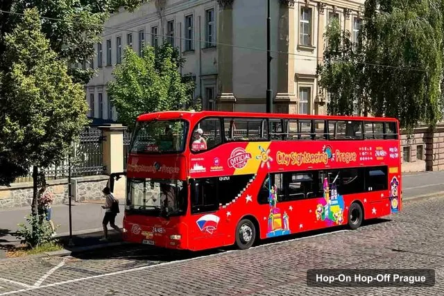
City Sightseeing Europe
Prague: City Sightseeing HOHO Bus Tour & Optional Boat Tour
- 4.0 (1,726 reviews)
- 2-day ticket
- Free cancellation
My pick: Covers the most of this map: 17 stops on three lines, from Strahov Monastery to the Žižkov Tower.
By Jake Dawson · Updated · Affiliate links, explained in my disclosure
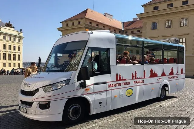
Martin Tour Prague Czech Republic
Prague: Historic City Center Bus Tour with Top Sights
4.4 (2,900) · from $22.29
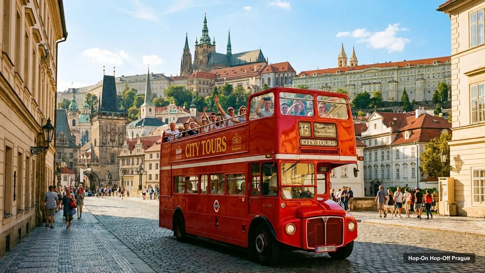
A Prague tourist map makes more sense once you see the city as two banks of one river, with a castle on a hill. I’ve put the top 20 attractions (ranked by Google Maps reviews) and the main sightseeing bus stops on one page, with coordinates and a Google Maps link for each. The route image follows the Big Bus network. To pick the ticket that rides it, see my comparison of hop-on hop-off in Prague.
The Prague tour map below shows Big Bus’s two lines. The green line stays in the centre, from Na Františku by the river to Old Town Square, the Lesser Town, the Dancing House, Wenceslas Square and the main train station. Its buses run every 15–30 minutes from 9:10am to 4:40pm. The red line climbs to Prague Castle and Dlabačov, then comes back via the Dancing House, I.P. Pavlova and Karlov. It runs every 35 minutes from 9:35am to 5:10pm.
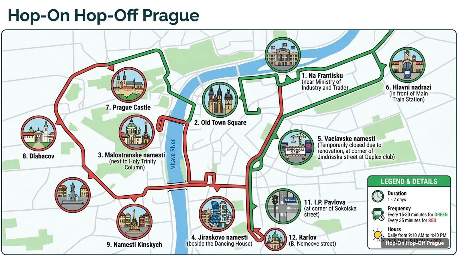
Stops on the route
| # | Stop | Line | Map |
|---|---|---|---|
| 1 | Na Frantisku (near Ministry of Industry and Trade) | Green | Find on Google Maps |
| 2 | Old Town Square | Green | Find on Google Maps |
| 3 | Malostranske namesti (next to Holy Trinity Column) | Green | Find on Google Maps |
| 4 | Jiraskovo namesti (beside the Dancing House) | Green | Find on Google Maps |
| 5 | Vaclavske namesti (Temporarily closed due to renovation, at corner of Jindrisska street at Duplex club) | Green | Find on Google Maps |
| 6 | Hlavni nadrazi (in front of Main Train Station) | Green | Find on Google Maps |
| 7 | Prague Castle | Red | Find on Google Maps |
| 8 | Dlabacov | Red | Find on Google Maps |
| 9 | Namesti Kinskych | Red | Find on Google Maps |
| 10 | Jiraskovo namesti (beside the Dancing House) | Red | Find on Google Maps |
| 11 | I.P. Pavlova (at corner of Sokolska street) | Red | Find on Google Maps |
| 12 | Karlov (B. Nemcove street) | Red | Find on Google Maps |
The Dancing House stop at Jiráskovo náměstí appears twice because both lines use it, which makes it the easiest place to change lines. The Wenceslas Square stop is temporarily closed for renovation, so use the main train station or Old Town Square instead.
This is the Prague tourist attractions map in table form, ranked by Google Maps reviews, with exact coordinates. Each link opens the place in Google Maps, where you can save it to a list before you travel.
| # | Attraction | Coordinates | Google rating | Map |
|---|---|---|---|---|
| 1 | Prague Castle | 50.09110, 14.40162 | 4.7 (203,233) | Open in Google Maps |
| 2 | Charles Bridge | 50.08648, 14.41144 | 4.8 (200,918) | Open in Google Maps |
| 3 | Old Town Square | 50.08757, 14.42119 | 4.8 (122,552) | Open in Google Maps |
| 4 | Prague Astronomical Clock | 50.08702, 14.42071 | 4.7 (103,707) | Open in Google Maps |
| 5 | St. Vitus Cathedral | 50.09089, 14.40051 | 4.8 (96,542) | Open in Google Maps |
| 6 | Dancing House | 50.07540, 14.41418 | 4.3 (70,741) | Open in Google Maps |
| 7 | Vyšehrad | 50.06419, 14.41890 | 4.8 (54,174) | Open in Google Maps |
| 8 | National Museum | 50.07897, 14.43094 | 4.6 (49,877) | Open in Google Maps |
| 9 | The Powder Tower | 50.08727, 14.42779 | 4.6 (49,670) | Open in Google Maps |
| 10 | Lennon Wall | 50.08625, 14.40679 | 4.1 (46,942) | Open in Google Maps |
| 11 | Petrin Tower | 50.08353, 14.39508 | 4.5 (36,782) | Open in Google Maps |
| 12 | Žižkov Television Tower | 50.08105, 14.45117 | 4.4 (24,253) | Open in Google Maps |
| 13 | Golden Lane | 50.09205, 14.40408 | 4.4 (22,482) | Open in Google Maps |
| 14 | National Technical Museum | 50.09730, 14.42491 | 4.7 (20,572) | Open in Google Maps |
| 15 | Old Town Bridge Tower | 50.08623, 14.41361 | 4.8 (17,034) | Open in Google Maps |
| 16 | Sex Machines Museum | 50.08626, 14.42084 | 4.2 (13,126) | Open in Google Maps |
| 17 | Muzeum fantastických iluzí | 50.08106, 14.42450 | 4.5 (12,159) | Open in Google Maps |
| 18 | Museum of Bricks | 50.08262, 14.41937 | 4.2 (10,614) | Open in Google Maps |
| 19 | Prague’s narrowest alley | 50.08795, 14.40954 | 4.0 (9,797) | Open in Google Maps |
| 20 | Museum of Communism | 50.08797, 14.42998 | 4.0 (8,484) | Open in Google Maps |
Read the coordinates above and you’ll see four groups on the Prague sites map:
Three top sights sit outside the clusters. Vyšehrad is about 1.3 km south of the Dancing House. The Žižkov Television Tower is about 2.3 km east of Old Town Square, and the National Technical Museum about 1.1 km north. Plan one cluster per half day and you won’t waste time crossing the city. My best things to do in Prague guide has what to see at each place, and my Prague itinerary turns the clusters into 1, 2 and 3-day plans.
The Prague sightseeing map gets easier once you know which stop serves which sight. Here’s how the main attractions line up with the stops in the operators’ listings:
Each operator draws its own Prague travel map, and the routes differ more than the brochures suggest. Big Bus runs the two lines plotted above. City Sightseeing runs three lines with 17 stops between them. The Blue line (90 minutes) loops from Republic Square through Wenceslas Square and the Lesser Town to Old Town Square. The Red line (60 minutes, double-decker) climbs past the castle entry to Strahov Monastery and Strahov Stadium. The Yellow line heads east to Náměstí Míru and the Žižkov Tower. The Line 42 heritage tram runs a one-way circle through 20 stops, every 30 minutes from 9:30am to 5:30pm, starting at Dlabačov.
Prague is a tram city, and Line 42 links most of this map. Its 20 stops are Dlabačov, Pohořelec, Brusnice, Pražský hrad, Královský letohrádek, Malostranská, Právnická fakulta, Čechův most, Dlouhá třída, Náměstí Republiky, Masarykovo nádraží, Jindřišská, Václavské náměstí, Vodičkova, Lazarská, Národní třída, Národní divadlo, Újezd, Tyršův dům and Malostranské náměstí. Several share a name or square with a bus stop: Náměstí Republiky, Václavské náměstí, Malostranské náměstí and Dlabačov. Those are the easiest places to switch. For regular tram and metro routes and fares, the official source is Prague Public Transit.
If you want a Prague tourist map PDF, use your browser’s “Print to PDF” option on this page. It keeps the route image, the stop numbers and the Google Maps links, which stay clickable on a phone or tablet. I’d also save the 20 attractions to a starred list in Google Maps. It takes two minutes with the links above, and the list works offline once you’ve downloaded the area.
If you’re walking rather than riding, the Prague tourist map has one rule: the east bank is flat and the west bank climbs. Old Town Square, the Powder Tower, Wenceslas Square and the Dancing House are all easy walks. Prague Castle, Petřín and Strahov are uphill, which is where a bus or the Line 42 tram earns its price. Cross Charles Bridge early in the morning, because it’s the second most-reviewed place in the city and the busiest walk on this map. Expect cobblestones almost everywhere in the centre, so wear flat shoes. Save the Google Maps links above to a list before you go, and use the coordinates to judge distances. Most pairs of sights in the Old Town cluster are under 500 metres apart.
City Sightseeing covers the most of this Prague tourist map in my data, with 17 stops on three lines, including Strahov Monastery and the Žižkov Tower. Big Bus has the strongest coverage of the centre and the castle, with a free guided castle walk in English. For the bus tour I’d book in Prague on this route, see my Prague sightseeing bus comparison. The rest of my city maps start from the homepage.
City Sightseeing Europe
My pick: Covers the most of this map: 17 stops on three lines, from Strahov Monastery to the Žižkov Tower.
This page works as one. The route map image shows the Big Bus network with 12 numbered stops, and the tables below list the top 20 attractions with coordinates and the Line 42 tram stops. Print the page, or open the Google Maps links to save the places to your phone for offline use.
In four clusters along the Vltava. The castle district has Prague Castle, St. Vitus Cathedral and Golden Lane. The Lesser Town below it has the Lennon Wall and Petřín. The Old Town has Old Town Square, the Astronomical Clock, Charles Bridge and the Powder Tower. The New Town has the Dancing House and the National Museum.
Old Town Square to Charles Bridge is about 0.7 km as the crow flies, and Charles Bridge to Prague Castle about 0.9 km, uphill. Old Town Square to the castle is about 1.45 km. Vyšehrad is about 1.3 km south of the Dancing House, and the Žižkov Television Tower about 2.3 km east of Old Town Square.
My full review of each one, in the order I rank them: