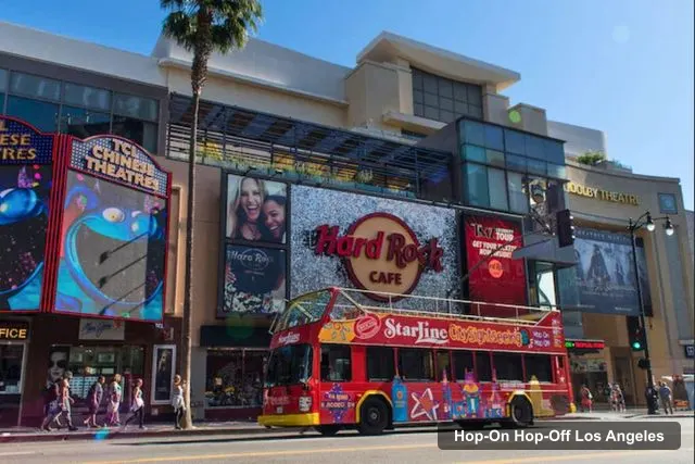
Starline Tours of Hollywood
Los Angeles: Hop-On Hop-Off Bus Tour with Audio Guide
- 3.5 (2,323 reviews)
- 3-day ticket
My pick: Covers the most of this map: 20+ stops, the coast to Venice Beach, and shuttles to Downtown and the studios.
By Jake Dawson · Updated · Affiliate links, explained in my disclosure
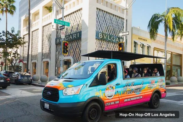
Hollywood Bus Tours
Hollywood, Beverly Hills & Celebrity Homes Open-Air Bus Tour
4.5 (2,849) · from $32.12
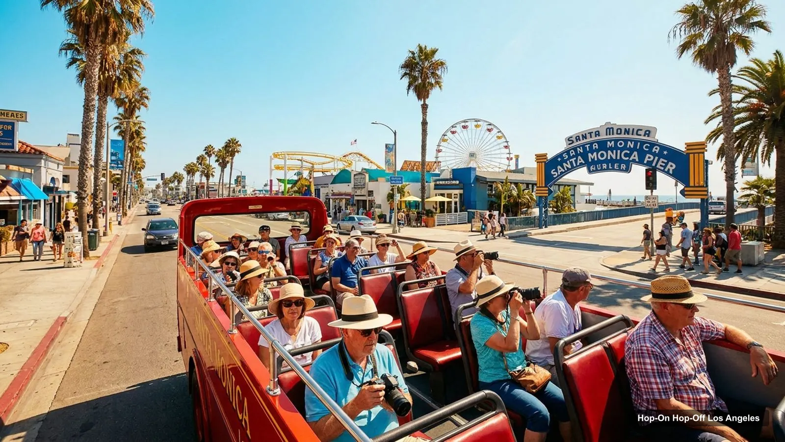
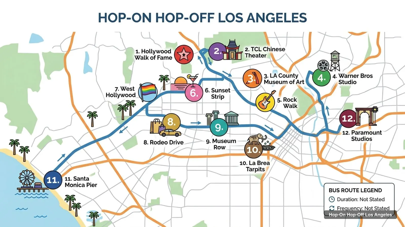
A Los Angeles tourist map looks overwhelming until you see the city as five separate clusters joined by long boulevards. I’ve put the top 20 attractions (ranked by Google Maps reviews) and the main sightseeing bus stops on one page, with coordinates and a Google Maps link for each. The route image follows the stop list of Big Bus, one of the two hop-on hop-off operators. To pick the ticket that rides it, see my comparison of hop-on hop-off in Los Angeles.
The Los Angeles sightseeing map below shows the 12 stops Big Bus lists for its Los Angeles ticket, from the Hollywood Walk of Fame through the Miracle Mile and Beverly Hills to Santa Monica Pier. Big Bus splits them across two routes: the Red Route for Hollywood and the studios, and the Blue Route through Santa Monica. A beach shuttle also leaves Stop 6 at Beverly Gardens Park from 10:45 AM, last departure 4:15 PM.
Stops on the route
| # | Stop | Map |
|---|---|---|
| 1 | Hollywood Walk of Fame | Find on Google Maps |
| 2 | TCL Chinese Theater | Find on Google Maps |
| 3 | LA County Museum of Art | Find on Google Maps |
| 4 | Warner Bros Studio | Find on Google Maps |
| 5 | Rock Walk | Find on Google Maps |
| 6 | Sunset Strip | Find on Google Maps |
| 7 | West Hollywood | Find on Google Maps |
| 8 | Rodeo Drive | Find on Google Maps |
| 9 | Museum Row | Find on Google Maps |
| 10 | La Brea Tarpits | Find on Google Maps |
| 11 | Santa Monica Pier | Find on Google Maps |
| 12 | Paramount Studios | Find on Google Maps |
The table follows the order Big Bus lists its stops, which isn’t always the order the bus drives them; the Big Bus app shows the live route. Starline Tours, the other operator, has more than 20 stops on its Hollywood Route and Beach Route, including The Grove and the Farmers Market, Melrose Avenue, the Beverly Center, the 3rd Street Promenade and Venice Beach.
This is the Los Angeles tourist attractions map in table form, ranked by Google Maps reviews, with exact coordinates. Each link opens the place in Google Maps, where you can save it to a list before you travel. I left out tour operators and shops.
| # | Attraction | Coordinates | Google rating | Map |
|---|---|---|---|---|
| 1 | Santa Monica Pier | 34.00828, -118.49876 | 4.6 (135,750) | Open in Google Maps |
| 2 | Griffith Park | 34.13655, -118.29420 | 4.7 (69,702) | Open in Google Maps |
| 3 | Hollywood Walk of Fame | 34.10161, -118.32957 | 4.0 (62,232) | Open in Google Maps |
| 4 | The Getty | 34.07734, -118.47326 | 4.8 (37,569) | Open in Google Maps |
| 5 | Los Angeles County Museum of Art | 34.06393, -118.35923 | 4.6 (21,221) | Open in Google Maps |
| 6 | California Science Center | 34.01582, -118.28611 | 4.7 (20,699) | Open in Google Maps |
| 7 | Griffith Observatory | 34.11843, -118.30039 | 4.7 (20,036) | Open in Google Maps |
| 8 | The Broad | 34.05450, -118.25018 | 4.7 (18,294) | Open in Google Maps |
| 9 | Natural History Museum of Los Angeles County | 34.01714, -118.28866 | 4.8 (14,827) | Open in Google Maps |
| 10 | Hollywood Sign | 34.13412, -118.32155 | 4.6 (14,361) | Open in Google Maps |
| 11 | Petersen Automotive Museum | 34.06202, -118.36136 | 4.8 (14,111) | Open in Google Maps |
| 12 | The Getty Villa | 34.04589, -118.56486 | 4.8 (12,065) | Open in Google Maps |
| 13 | The Huntington Library, Art Museum, and Botanical Gardens | 34.12905, -118.11452 | 4.8 (8,504) | Open in Google Maps |
| 14 | Madame Tussauds Hollywood | 34.10172, -118.34151 | 4.5 (7,627) | Open in Google Maps |
| 15 | Academy Museum of Motion Pictures | 34.06348, -118.36084 | 4.4 (4,396) | Open in Google Maps |
| 16 | Angels Flight Railway | 34.05162, -118.25061 | 4.5 (3,797) | Open in Google Maps |
| 17 | GRAMMY Museum | 34.04466, -118.26464 | 4.4 (2,751) | Open in Google Maps |
| 18 | The Museum of Contemporary Art, Los Angeles | 34.05325, -118.25055 | 4.4 (2,586) | Open in Google Maps |
| 19 | Autry Museum of the American West | 34.14862, -118.28121 | 4.7 (2,339) | Open in Google Maps |
| 20 | Bradbury Building | 34.05060, -118.24786 | 4.5 (2,294) | Open in Google Maps |
Read the coordinates above and you’ll see five groups on the Los Angeles things to do map:
Plan one cluster per half day and you won’t waste time in traffic. My best things to do in Los Angeles guide has what to see at each place.
Los Angeles tourist attractions line up with the bus stops better than you’d think, as long as you stay in Hollywood, on Wilshire or at the beach. Here’s which stop serves which sight, from the operators’ listings:
Each operator draws its own Los Angeles tour map. Big Bus lists the 12 stops in the table above across its Red and Blue routes, and its combo with a celebrity homes tour describes 19 stops from LA to Santa Monica. Starline’s pass covers the Hollywood Route and the Beach Route, plus express shuttles from Downtown LA hotels, from the Dolby Theatre to Santa Monica Pier, and to Universal Studios Hollywood and Warner Bros. Studios. On Starline’s two-day celebrity homes combo you also get a Yellow Route to Santa Monica and Venice Beach and a Purple Route around Downtown LA. The guided open-air tours draw a much smaller loop: Hollywood, the Hollywood Hills and Mulholland Drive, Beverly Hills and the Sunset Strip, in about two hours. If one sight on this map is a must for you, check that your operator stops there before you book.
The Los Angeles travel map is mostly about distance. By my calculation from the coordinates, the Walk of Fame is about 18.7 km (11.6 miles) from Santa Monica Pier in a straight line, and LACMA is about 10.1 km (6.3 miles) from The Broad. The hop-on hop-off buses handle the Hollywood, Wilshire and coast legs. For the rest, Metro is the main public option: the B Line has a Hollywood/Highland station on the Walk of Fame, and the E Line runs between Downtown LA and Santa Monica, passing Exposition Park on the way. For fares and maps, see LA Metro.
The way I’d use a Los Angeles tourist map like this is to pick one cluster per half day and plot only that cluster in Google Maps. Open the links for the four or five places you care about, save them to one list, and the app shows you which are walkable from each other and which need the bus. On this Los Angeles tourist map, the walkable groups are the Miracle Mile museums, Downtown around The Broad and Angels Flight, and Exposition Park. Everything else is a ride. Check the opening days in Google Maps before you go: several of the top museums close on a Monday, Tuesday or Wednesday.
If you want a printable Los Angeles tourist map, print this page: the route image and the two tables fit on a few sheets and keep the stop numbers next to the sights. For a PDF, use your browser’s “Print to PDF” option, which keeps the Google Maps links clickable on a phone or tablet. I’d also save the 20 attractions to a starred list in Google Maps. It takes a couple of minutes with the links above, and the list works offline once you’ve downloaded the area.
Starline covers the most of this Los Angeles tourist map in my data, with more than 20 stops on two routes and express shuttles that reach Griffith Observatory, Downtown and the studios. Big Bus covers the same Hollywood, Miracle Mile and Santa Monica sights with the better review score. My 1, 2 and 3-day plans built on these clusters are in my Los Angeles itinerary. If you want the bus tour I’d book in Los Angeles for this route, it’s on my Los Angeles sightseeing bus comparison, and the rest of my city maps start from the homepage.
Starline Tours of Hollywood
My pick: Covers the most of this map: 20+ stops, the coast to Venice Beach, and shuttles to Downtown and the studios.
This page works as one: the route map image shows the sightseeing bus stops in order, and the tables below list the top 20 attractions and 12 bus stops with Google Maps links and coordinates. Print the page, or open any Google Maps link to save the places to your phone for offline use.
In five areas. Hollywood has the Walk of Fame and Madame Tussauds, with Griffith Park, the observatory and the Hollywood Sign in the hills above. The Miracle Mile has LACMA, the Academy Museum and the Petersen. Downtown has The Broad, MOCA and Angels Flight, Exposition Park has two museums, and the coast has Santa Monica Pier and the two Getty sites.
By my calculation from the coordinates, the Walk of Fame is about 5.0 km (3.1 miles) from LACMA, LACMA is about 14.3 km (8.9 miles) from Santa Monica Pier, and LACMA is about 10.1 km (6.3 miles) from The Broad in Downtown. Those long legs are why a bus or car saves the most time in Los Angeles.
My full review of each one, in the order I rank them: