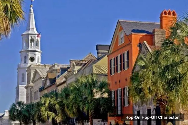
Gray Line Charleston
Charleston: Historic City Highlights Guided Bus Tour
- 4.6 (748 reviews)
- 1.5 hours
- Free cancellation
My pick: The only guided bus tour I could document: 2.86, 90 minutes, and it starts beside the Charleston Museum.
By Jake Dawson · Updated · Affiliate links, explained in my disclosure
Gray Line Charleston
Charleston: Historic City Highlights Guided Bus Tour
4.6 (748) · from $32.86
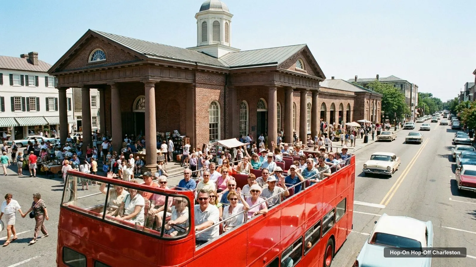
A Charleston tourist map makes more sense once you split the peninsula into clusters: the museum area around the Visitor Center, the market and Meeting Street, the East Bay waterfront, and the Battery at the southern tip. I’ve put the six sights named on the Gray Line bus tour, the Visitor Center and the top 20 attractions, ranked by Google Maps reviews, on one page.
If you are still choosing a ticket, my hop-on hop-off Charleston guide compares the coach tour with the Water Taxi. All coordinates and ratings below are from Google Maps place data, and distances are straight lines from the Visitor Center.
The Gray Line coach loop names six sights, listed below in the order of its description. There are no boarding stops in between: the tour starts and ends at the Visitor Center. The infographic shows the sights in order, and the table lets you open each one in Google Maps.
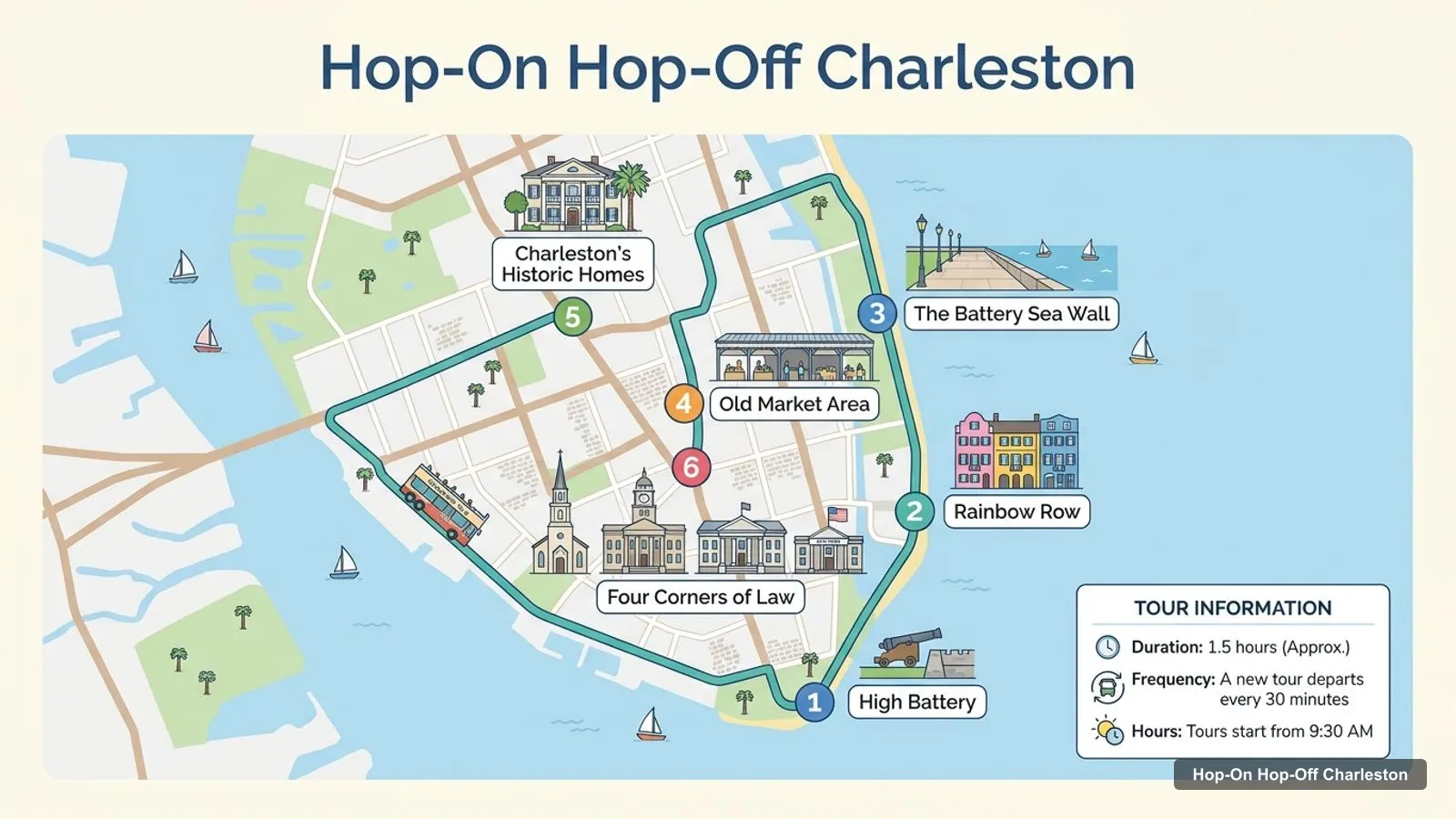
Stops on the route
| # | Sight named on the listing | Map |
|---|---|---|
| 1 | High Battery | Find on Google Maps |
| 2 | Rainbow Row | Find on Google Maps |
| 3 | The Battery Sea Wall | Find on Google Maps |
| 4 | Old Market Area | Find on Google Maps |
| 5 | Charleston’s Historic Homes | Find on Google Maps |
| 6 | Four Corners of Law | Find on Google Maps |
The listing also says the tour passes more than 100 points of interest, but it names only these six. High Battery and The Battery Sea Wall are close together at the southern tip, and Rainbow Row sits 0.7 km north of The Battery.
The Charleston tourist information center is the Visitor Center at 375 Meeting Street, and it is also where the Gray Line tour starts. The local visitors bureau lists the opening hours as 8:30 AM to 5 PM daily, with closures on Thanksgiving Day, Christmas Day and New Year’s Day. Its phone number on the bureau page is (800) 774-0006.
Google Maps also shows other operators at that address, including Old Town Trolley Tours and Adventure Sightseeing, which makes it the practical starting point for every bus tour in the city. I could not find parking information in my sources, so check before you drive.
This table ranks the top 20 attractions by number of Google Maps reviews. I left out tour operators, bus stops and transit lots, and kept the plantations because people search for them. The last column is the straight-line distance from the Visitor Center, and each link opens the place in Google Maps.
| # | Attraction | Rating | Reviews | Lat, lng | From start | Map |
|---|---|---|---|---|---|---|
| 1 | Charleston City Market | 4.5 | 28,267 | 32.7808, -79.9305 | 1.1 km | Open |
| 2 | Waterfront Park | 4.7 | 11,391 | 32.7790, -79.9255 | 1.6 km | Open |
| 3 | Magnolia Plantation and Gardens | 4.5 | 9,807 | 32.8786, -80.0883 | 17.3 km | Open |
| 4 | USS Yorktown CV-10 | 4.8 | 8,746 | 32.7904, -79.9085 | 2.6 km | Open |
| 5 | South Carolina Aquarium | 4.5 | 8,433 | 32.7910, -79.9255 | 1.1 km | Open |
| 6 | Rainbow Row | 4.6 | 7,341 | 32.7754, -79.9273 | 1.8 km | Open |
| 7 | Boone Hall Plantation & Gardens | 4.6 | 7,131 | 32.8582, -79.8231 | 13.1 km | Open |
| 8 | Pineapple Fountain | 4.8 | 6,901 | 32.7781, -79.9252 | 1.7 km | Open |
| 9 | White Point Garden | 4.7 | 3,525 | 32.7699, -79.9304 | 2.2 km | Open |
| 10 | Middleton Place | 4.7 | 3,139 | 32.9000, -80.1372 | 22.4 km | Open |
| 11 | Old Slave Mart Museum | 4.4 | 2,503 | 32.7778, -79.9284 | 1.5 km | Open |
| 12 | Marion Square | 4.6 | 2,416 | 32.7869, -79.9357 | 0.3 km | Open |
| 13 | The Charleston Museum | 4.6 | 2,368 | 32.7896, -79.9357 | 0.1 km | Open |
| 14 | McLeod Plantation Historic Site | 4.6 | 2,101 | 32.7631, -79.9730 | 4.5 km | Open |
| 15 | International African American Museum | 4.8 | 1,859 | 32.7888, -79.9253 | 1.1 km | Open |
| 16 | Old Exchange and Provost Dungeon | 4.7 | 1,760 | 32.7769, -79.9269 | 1.7 km | Open |
| 17 | Nathaniel Russell House Museum | 4.6 | 1,299 | 32.7740, -79.9310 | 1.8 km | Open |
| 18 | Aiken-Rhett House Museum | 4.6 | 1,028 | 32.7914, -79.9348 | 0.3 km | Open |
| 19 | Childrens Museum of the Lowcountry | 4.4 | 1,027 | 32.7894, -79.9377 | 0.1 km | Open |
| 20 | Friends of the Hunley | 4.8 | 1,000 | 32.8567, -79.9591 | 7.8 km | Open |
Grouping the sights by area makes a day easier to plan, because each cluster can be covered on foot.
The coach does not stop, so the useful question is which sights you can reach on foot after the loop. Rainbow Row, the Old Market area and The Battery are the three named sights with places listed in Google Maps, and each one has neighbors worth a short walk.
These are straight-line distances from Google Maps coordinates, so real walking routes will be longer. I did not estimate walking minutes, because I could not route them, and I would not trust a guess.
| From the Visitor Center to | Straight-line distance |
|---|---|
| The Charleston Museum | 0.1 km |
| Marion Square | 0.3 km |
| Charleston City Market | 1.1 km |
| South Carolina Aquarium | 1.1 km |
| Waterfront Park | 1.6 km |
| Rainbow Row | 1.8 km |
| White Point Garden | 2.2 km |
| The Battery | 2.4 km |
| USS Yorktown, Patriots Point | 2.6 km |
I’d open the table on my phone, tap each Google Maps link to save the places I want and delete the rest. Then I’d group them by cluster, so each half day stays inside one area. Anything above 5 km goes in its own plan, and I would book a driver or a tour for the plantations, which are 13 to 22 km out and have their own opening days.
Two practical notes. First, several museums show closed days on Google Maps, and I only saw the Monday line for each, so check the days before you walk across town. Second, the Water Taxi departs hourly with no published hours on its homepage, so plan a buffer.
The Charleston tourist guide in one line: walk the peninsula, and use the water or a car for everything else. The Charleston Water Taxi sells a 7 all-day pass, 5 for children, with stops at Waterfront Park, the Maritime Center, Patriots Point and the Charleston Harbor Resort, departing hourly.
I found no metro and no hop-on hop-off bus with a published stop list. Google Maps lists a Dash trolley service at 36 John Street, but I could not verify its routes or fares, so ask at the Visitor Center. The coach tour is the one narrated option I can document.
Gray Line Charleston
My pick: The only guided bus tour I could document: 2.86, 90 minutes, and it starts beside the Charleston Museum.
Some sights are open round the clock, which changes how you can use the map. Google Maps lists Rainbow Row, the Pineapple Fountain and Marion Square as open 24 hours, so they work for an early walk or an evening stroll when the museums are shut. The City Market and the museums keep daytime hours, so I’d cluster those into the morning and early afternoon.
The coach tour is a daytime product too: the first tour is at 9:30 AM, and the Visitor Center closes at 5 PM. That leaves the golden hour for a free walk along the waterfront.
Charleston is worth visiting if you like to explore on foot, because the map shows 13 of the top 20 attractions within 2 km of the Visitor Center. The ratings are consistent, with 15 of the 20 at 4.6 or higher on Google Maps.
The trade-off is that the best-known outlying sights, the plantations, are 13 to 22 km out. For the full planning set, read the best things to do in Charleston and the Charleston itinerary, or go back to the home page.
The Charleston Visitor Center is at 375 Meeting Street, Charleston, SC 29403. The local visitors bureau lists it as open 8:30 AM to 5 PM daily, closed on Thanksgiving, Christmas and New Year's Day. The Gray Line bus tour starts from the same address, and Google Maps puts the Charleston Museum 0.1 km away.
Yes, if you like walkable historic streets and waterfront views. My data lists 20 attractions rated 4.4 or higher on Google Maps, and the core ones sit within about 2.6 km of the Visitor Center. Plantations and the Hunley need extra travel time, so plan those separately.
My full review of each one, in the order I rank them: