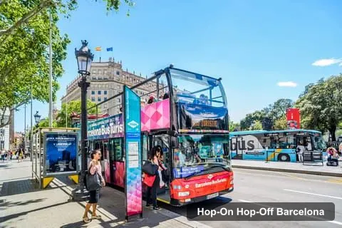
City Sightseeing Europe
City Sightseeing Barcelona Hop-On Hop-Off Bus - 2 Routes
- 4.4 (11,834 reviews)
- 2-day ticket
- Free cancellation
My pick: Covers the most of this map: 38 stops, from Montjuïc to Park Güell and Camp Nou.
By Jake Dawson · Updated · Affiliate links, explained in my disclosure
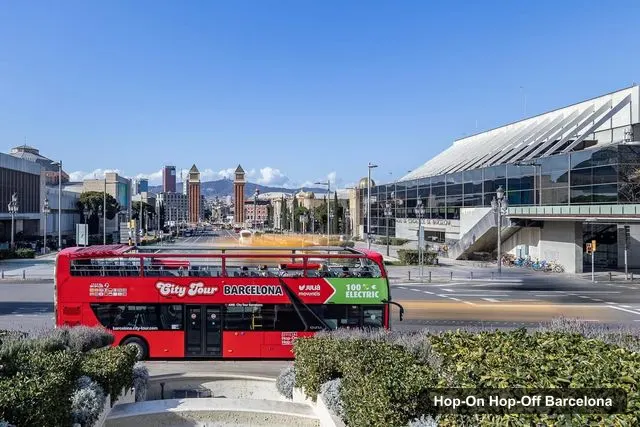
Julia Travel Gray Line Spain
Barcelona City Tour Hop-On Hop-Off Bus Tour
4.4 (24,685) · from $37.16
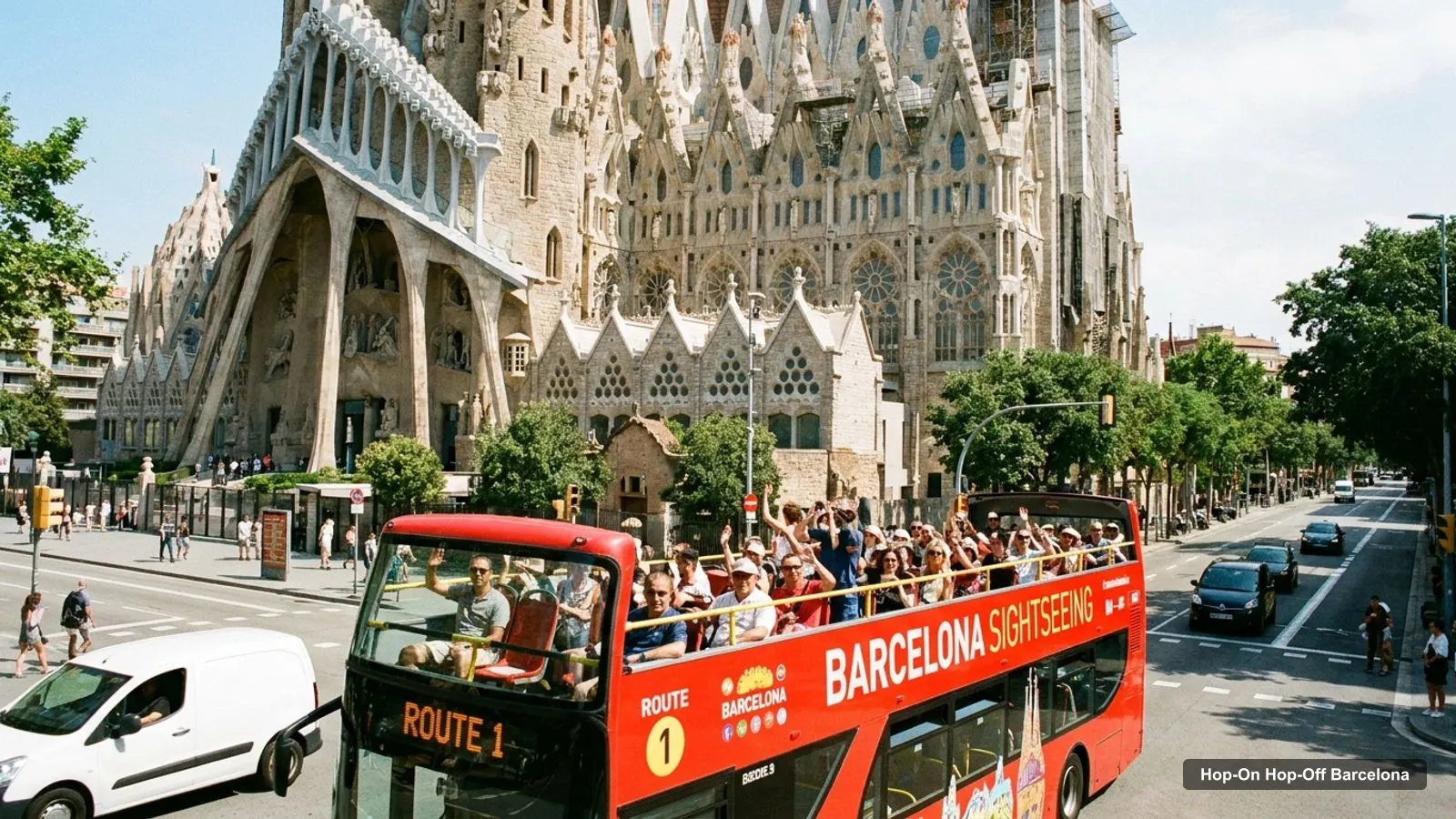
A Barcelona tourist map makes more sense once you see the city as four areas between the sea and the hills. I’ve put the top 20 attractions (ranked by Google Maps reviews) and the main sightseeing bus stops on one page, with coordinates and a Google Maps link for each. The route image follows Barcelona Bus Turístic’s Red route. To pick the ticket that rides it, see my comparison of hop-on hop-off in Barcelona.
The Barcelona tour map below shows the first 12 stops of Bus Turístic’s Red route, from Plaça de Catalunya along Passeig de Gràcia, past Sants station and Plaça d’Espanya and up over Montjuïc to Miramar. Buses run every 10 to 25 minutes depending on the season. The first leaves Stop 1 at 9am and the last at 7pm, every day except 1 January and 25 December.
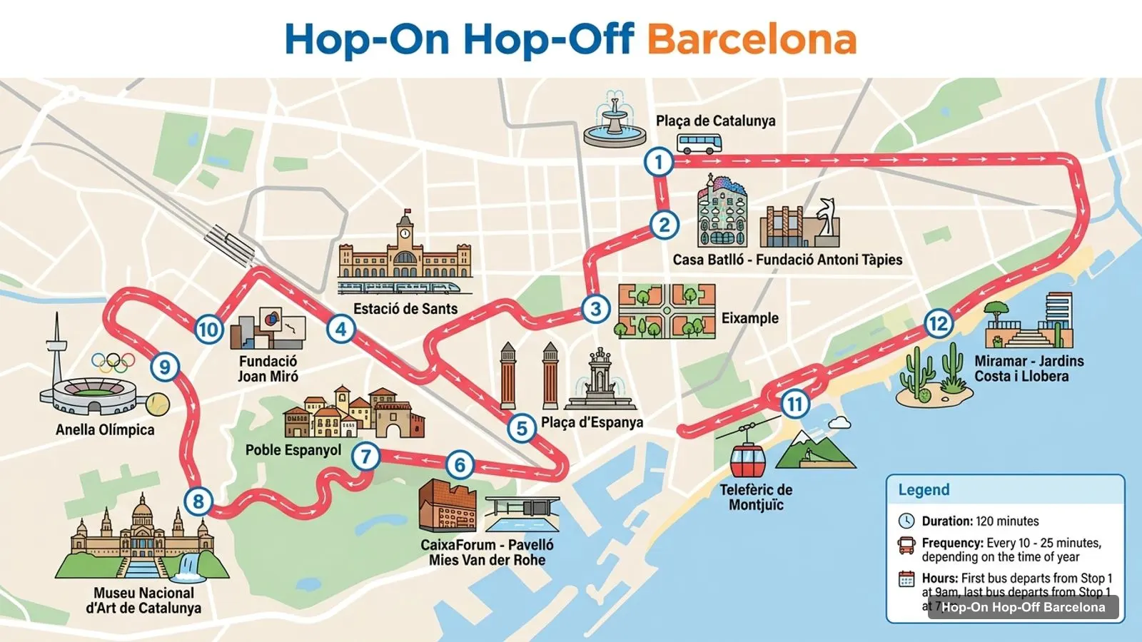
Stops on the route
| # | Stop | Map |
|---|---|---|
| 1 | Plaça de Catalunya | Find on Google Maps |
| 2 | Casa Batlló - Fundació Antoni Tàpies | Find on Google Maps |
| 3 | Eixample | Find on Google Maps |
| 4 | Estacio de Sants | Find on Google Maps |
| 5 | Placa d’Espanya | Find on Google Maps |
| 6 | CaixaForum - Pavello Mies Van der Rohe | Find on Google Maps |
| 7 | Poble Espanyol | Find on Google Maps |
| 8 | Museu Nacional d’Art de Catalunya | Find on Google Maps |
| 9 | Anella Olimpica | Find on Google Maps |
| 10 | Fundacio Joan Miro | Find on Google Maps |
| 11 | Teleferic de Montjuic | Find on Google Maps |
| 12 | Miramar - Jardins Costa i Llobera | Find on Google Maps |
After Miramar, the Red route carries on to the World Trade Center, Colom - La Rambla, the Museum of the History of Catalonia, Port Olímpic, the beaches at Bogatell and Nova Mar Bella, the Fòrum and Poblenou, then back via the Sagrada Familia and the Arc de Triomf. That’s 24 stops in total. Stop 22, Torre Glòries, is out of service, and the bus uses 160 Badajoz Street instead. The Blue route adds 14 more stops, including La Pedrera, Park Güell, Tibidabo and FC Barcelona.
This is the Barcelona sightseeing map in table form, ranked by Google Maps reviews, with exact coordinates. Each link opens the place in Google Maps, where you can save it to a list before you travel.
| # | Attraction | Coordinates | Google rating | Map |
|---|---|---|---|---|
| 1 | Basilica of the Sagrada Familia | 41.40363, 2.17436 | 4.8 (335,208) | Open in Google Maps |
| 2 | Park Güell | 41.41449, 2.15269 | 4.4 (243,057) | Open in Google Maps |
| 3 | Plaça de Catalunya | 41.38702, 2.17005 | 4.5 (222,925) | Open in Google Maps |
| 4 | Casa Batlló | 41.39170, 2.16492 | 4.7 (220,596) | Open in Google Maps |
| 5 | Mercat de la Boqueria | 41.38174, 2.17159 | 4.5 (216,868) | Open in Google Maps |
| 6 | La Pedrera - Casa Milà | 41.39522, 2.16190 | 4.6 (114,588) | Open in Google Maps |
| 7 | Arc de Triomf | 41.39105, 2.18064 | 4.6 (101,802) | Open in Google Maps |
| 8 | Magic Fountain of Montjuïc | 41.37116, 2.15174 | 4.6 (92,570) | Open in Google Maps |
| 9 | Cathedral of Barcelona | 41.38396, 2.17620 | 4.6 (85,216) | Open in Google Maps |
| 10 | Ciutadella Park | 41.38812, 2.18602 | 4.6 (78,402) | Open in Google Maps |
| 11 | Montjuïc Castle | 41.36296, 2.16506 | 4.4 (62,118) | Open in Google Maps |
| 12 | Christopher Columbus monument | 41.37581, 2.17776 | 4.5 (53,570) | Open in Google Maps |
| 13 | CosmoCaixa Museum of Science | 41.41318, 2.13112 | 4.7 (49,445) | Open in Google Maps |
| 14 | Poble Espanyol | 41.36907, 2.14674 | 4.2 (41,508) | Open in Google Maps |
| 15 | Basílica de Santa Maria del Mar | 41.38389, 2.18207 | 4.7 (40,636) | Open in Google Maps |
| 16 | Picasso Museum Barcelona | 41.38527, 2.18095 | 4.4 (40,419) | Open in Google Maps |
| 17 | Museu Nacional d’Art de Catalunya | 41.36844, 2.15357 | 4.7 (39,680) | Open in Google Maps |
| 18 | FC Barcelona Museum | 41.38026, 2.12091 | 4.5 (26,555) | Open in Google Maps |
| 19 | Palau Güell | 41.37889, 2.17424 | 4.6 (23,881) | Open in Google Maps |
| 20 | Casa Vicens Gaudí | 41.40350, 2.15065 | 4.7 (23,166) | Open in Google Maps |
Two things stand out on this Barcelona tourist map. First, Gaudí dominates it: the Sagrada Familia, Park Güell, Casa Batlló and La Pedrera are four of the top six, and Palau Güell and Casa Vicens close out the top 20. Second, the ratings are high across the board. The Sagrada Familia leads at 4.8, five more places score 4.7 (Casa Batlló, CosmoCaixa, Santa Maria del Mar, the National Museum of Art of Catalonia and Casa Vicens), and the lowest score in the list is Poble Espanyol’s 4.2. So I wouldn’t use the rating to choose between them. I’d use the Barcelona tourist map instead, and group the sights by area.
Read the coordinates above and you’ll see four groups on the Barcelona sights map:
Plan one cluster per half day and you won’t waste time crossing the city. My best things to do in Barcelona guide has what to see at each place, and my Barcelona itinerary turns the clusters into 1, 2 and 3-day plans.
The Barcelona tourism map gets easier once you know which bus stop serves which sight. Here’s how the main attractions line up with Bus Turístic’s stops:
Each sightseeing bus company draws its own Barcelona sites map, and the two networks split the city differently. Barcelona Bus Turístic, sold by City Sightseeing, publishes 38 stops on two routes. The Red route covers Montjuïc, the port and the beaches, and the Blue route covers the uphill north. Barcelona City Tour, run by Julia Travel Gray Line Spain, uses a green (East) route from Pla de Palau and Plaça de Catalunya past the Sagrada Familia to Park Güell. Its orange (West) route goes to the FC Barcelona stadium and the National Museum of Art of Catalonia and back through El Born. Its official site advertises 30 stops, and you get a paper map with every stop when you board. If one sight on this map is a must for you, check that your operator stops there before you book.
If you want a printable Barcelona things to do map, print this page. The route image and the two tables fit on a few sheets and keep the stop numbers next to the sights. For a PDF, use your browser’s “Print to PDF” option, which keeps the Google Maps links clickable on a phone or tablet. I’d also save the 20 attractions to a starred list in Google Maps. It takes two minutes with the links above, and the list works offline once the area is downloaded.
The bus stops at 7pm, but most of the sights on this Barcelona tourist map stay open later. Casa Batlló closes at 10:30pm, La Pedrera at 11pm and Poble Espanyol at midnight on most days. That’s when the metro takes over. Several Red route stops share their name with a station or a square served by the metro, such as Plaça de Catalunya, Plaça d’Espanya and Sants station, so they’re the easiest places to swap the bus for the metro. For metro maps and fares, the official source is TMB, Barcelona’s public transport operator.
Barcelona Bus Turístic covers the most of this Barcelona tourist map in my data, with stops at 10 of the top 20 attractions and a short walk or cable-car ride from most of the rest. Barcelona City Tour covers the same Gaudí and Montjuïc highlights and has the most reviews. If you want the bus tour I’d book in Barcelona for this route, it’s in my Barcelona sightseeing bus comparison, and the rest of my city maps start from the homepage.
City Sightseeing Europe
My pick: Covers the most of this map: 38 stops, from Montjuïc to Park Güell and Camp Nou.
This page works as one. The route image shows the sightseeing bus route with numbered stops, and the tables list the top 20 attractions and 12 bus stops with coordinates. Print the page, or open any Google Maps link to save the places to your phone. Barcelona City Tour also hands out a paper map on board.
In four areas. The Old Town and port have the Boqueria, the cathedral, Santa Maria del Mar and the Columbus monument. The Eixample has Casa Batlló, La Pedrera and the Sagrada Familia. Montjuïc has the Magic Fountain, the art museum and the castle. Park Güell sits on its own hill to the north.
Measured in a straight line from Plaça de Catalunya, Casa Batlló is 670 metres away, the Sagrada Familia 1.9 km, the Magic Fountain 2.3 km and Park Güell 3.4 km. The Sagrada Familia to Park Güell is 2.2 km, uphill. The longer and steeper hops are where a bus saves the most time.
My full review of each one, in the order I rank them: